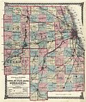
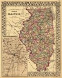
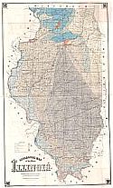
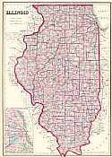
Main Author:
Warner and Beers
Title/Description:
Atlas of Illinois
Publication Info:
Chicago: Warner and Beers, 1872
Viewing Options
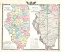
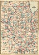
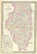
Main Author:
Gray, Ormando W.
Title/Description:
Illinois
Publication Info:
Philadelphia: Stedman, Brown and Lyon 1873; from Gray's Atlas of the United States with General Maps of the World
Viewing Options
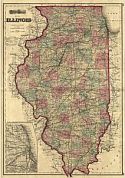
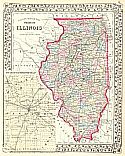
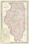
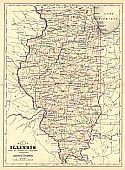
Main Author:
Mitchell, S. Augustus
Title/Description:
County Map of the State of Illinois
Publication Info:
Philadelphia: S. A. Mitchell,1873; from Mitchell's New General Atlas
Viewing Options
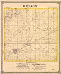
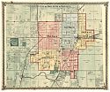
Main Author:
Warner and Beers
Title/Description:
City of Decatur and Vicinity
Publication Info:
Chicago: Warner and Beers, 1872; from the Atlas of Macon County, Illinois
Viewing Options
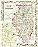
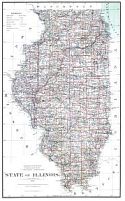
Main Author:
Mitchell, Samuel Augustus
Title/Description:
County Map of the State of Illinois
Publication Info:
Philadelphia: S.A. Mitchell, 1875
Viewing Options
Main Author:
Mitchell, Samuel Augustus
Title/Description:
County Map of the State of Illinois
Publication Info:
Philadelphia: S.A. Mitchell, 1875
Viewing Options
Main Author:
Illinois State Geological Survey
Title/Description:
Geological Map of the State of Illinois
Publication Info:
Urbana: Illinois State Geological Survey, 1875
Main Author:
Warner and Beers
Title/Description:
Atlas of Bureau Co. and the State of Illinois
Publication Info:
Chicago: Warner and Beers, 1875
Viewing Options
Main Author:
Asher and Adams
Title/Description:
Illinois
Publication Info:
New York: Asher and Adams, 1875
Main Author:
Warner and Beers
Title/Description:
The Atlas of the State of Illinois
Publication Info:
Chicago: Warner and Beers, Union Atlas Company, 1876
Viewing Options
Main Author:
Mitchell, Samuel Augustus
Title/Description:
County and Township Map of the State of Illinois
Publication Info:
Philadelphia: S.A. Mitchell, Jr., 1877
Viewing Options
Main Author:
Roeser, Charles
Title/Description:
State of Illinois
Publication Info:
Washington: U.S. Department of the Interior, General Land Office, 1878
Viewing Options
Main Author:
Gray, Ormando W.
Title/Description:
Illinois
Publication Info:
Philadelphia: O.W. Gray &Son, 1880; from the National Atlas Containing Elaborate Topographical Maps of the United States and the Dominion of Canada
Viewing Options
Main Author:
Mitchell, Samuel Augustus
Title/Description:
County and Township Map of the State of Illinois
Publication Info:
Philadelphia: S.A. Mitchell, 1880
Viewing Options
Main Author:
Johnson, Alvin J.
Title/Description:
Map of Illinois
Publication Info:
Philadelphia: A.J. Johnson, 1880; Drawn and Engraved on Copper-Plate Expressly for Johnson's Cyclopedia
Viewing Options
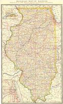
Main Author:
Rand McNally &Company
Title/Description:
Railroad Map of Illinois Prepared for the 1880 Report of Railroad and Warehouse Commissioners
Publication Info:
Chicago: Rand McNally & Co., 1880
Viewing Options
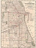
Main Author:
Rand McNally &Co.
Title/Description:
Map of the Illinois State Grain Inspection Department for the City of Chicago, Showing the Location of the Different Inspection Stations at Elevators and on Railways and Canals
Publication Info:
Chicago: Rand McNally & Co., 1880; prepared for the Report of Chief Inspector