Main Author:
White, M. Wood
Title/Description:
White's New County and District Atlas of the State of West Virginia
Publication Info:
Philadelphia: S.A. Mitchell, 1873
Original Source:
University of Alabama Map Library

Viewing Options
Main Author:
Hotchkiss, Jed
Title/Description:
Map of the New River Coal-Field, West Virginia
Publication Info:
Staunton: The Virginias, Vol I, No. 2, February 1880

Viewing Options
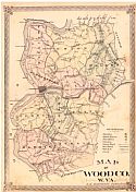
Main Author:
Hardesty, H.H.
Title/Description:
Map of Wood County, West Virginia
Publication Info:
New York: H. H. Hardesty, 1882

Viewing Options
Main Author:
Hardesty, H.H.
Title/Description:
Map of Pleasants County, West Virginia
Publication Info:
New York, H. H. Hardesty, 1882

Viewing Options
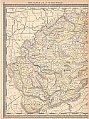
Main Author:
Rand McNally and Company
Title/Description:
West Virginia
Publication Info:
Chicago: Rand McNally and Company, 1884; from The New Household Atlas of the World

Viewing Options
Main Author:
Rand McNally and Company
Title/Description:
West Virginia
Publication Info:
Chicago: Rand McNally and Co., 1889; from The Enlarged Business Atlas and Shippers Guide

Viewing Options
Title/Description:
West Virginia
Publication Info:
New York: L.L. Poates Engraving Company, 1890

Viewing Options

Viewing Options
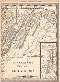
Main Author:
Rand McNally and Company
Title/Description:
New Map of West Virginia
Publication Info:
Chicago: Rand McNally & Co., 1890; from Rand McNally & Co.'s Family Atlas of the World


