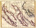
Viewing Options
Main Author:
Robert de Vaugondy, Giles (
info)
Title/Description:
Carte de la California
Publication Info:
Paris: D. Diderot, 1779; from Diderot's Encyclopdie
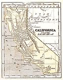
Viewing Options
Main Author:
Morse, Sidney E.
Title/Description:
California
Publication Info:
New York: Harper and Brothers 1851; from Morse's School Geography
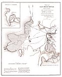
Viewing Options
Main Author:
Derby, George H.
Title/Description:
Survey of San Diego River and its Vicinity
Publication Info:
Washington: Robert Armstrong, Printer, 1853; from Senate Ex. doc. 1. 33rd Congress, 1st Session, Maps and Views to Accompany Message and Document

Viewing Options
Main Author:
Blake, William P.
Title/Description:
Geological Map of the Country Between San Diego and the Colorado River
Publication Info:
Washington: USPRR Explorations and Surveys, War Department, 1855: prepared in office of P.R.R. Exp. & Surveys

Viewing Options
Main Author:
U.S. Coast Survey
Title/Description:
Map of the Country Between San Diego and the Colorado River
Publication Info:
Washington: U.S. Coast Survey, 1855; NAV Charts; No. 60
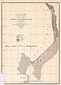
Viewing Options
Main Author:
U.S. Coast Survey
Title/Description:
Map of the Vicinity of Monterey Bay
Publication Info:
Washington: U.S. Coast Survey, 1855; No. 59 to accompany a report on the physical geography and geology of the coast by W.P. Blake

Viewing Options
Main Author:
U.S. Coast Survey
Title/Description:
Map of the Vicinity of the Golden Gate, San Francisco Bay, California
Publication Info:
Washington: U.S. Coast Survey, 1855; No. 58
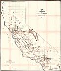
Viewing Options
Main Author:
Hayes, John C.
Title/Description:
Map of Public Surveys in California
Publication Info:
Sacramento: Surveyor General's Office, 1855
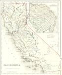
Viewing Options
Main Author:
Colton, J.H.
Title/Description:
California
Publication Info:
New York: J.H. Colton and Company, 1855
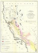
Viewing Options
Main Author:
Blake, William P.
Title/Description:
Geological Map of a Part of the State of California
Publication Info:
Washington: War Department, 1856; The report of Lt. R.S. Williamson from the Pacific Railroad Surveys
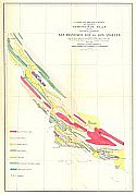
Viewing Options
Main Author:
Antisell, Thomas
Title/Description:
Geological Plan of the Coastal Range of California from San Francisco Bay to Los Angeles
Publication Info:
Washington: War Department 1856; from the Pacific Railroad Surveys
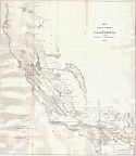
Viewing Options
Title/Description:
Map of Public Surveys in California to Accompany Report of Surveyor General
Publication Info:
San Francisco: 1856
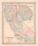
Viewing Options
Main Author:
Colton, J.H.
Title/Description:
California
Publication Info:
New York: J.H. Colton and Company, Colton's Atlas of the World
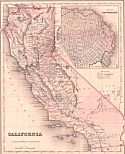
Viewing Options
Main Author:
Colton, G.W.
Title/Description:
California
Publication Info:
New York: J.H. Colton and Company, 1858; from The General Atlas

