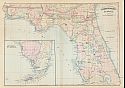
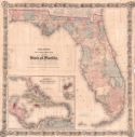
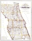
Viewing Options
Main Author:
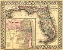
Asher and Adams
Title/Description:
Florida
Publication Info:
New York: Asher and Adams, 1871; from New Statistical and Topographic Atlas of the United States
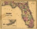
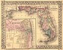
Viewing Options
Main Author:
Gray, Ormando W.
Title/Description:
Gray's Atlas map of Florida
Publication Info:
Philadelphia: O.W. Gray & Son
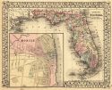
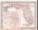
Viewing Options
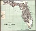
Main Author:
Mitchell, S. Augustus
Title/Description:
County Map of Florida
Publication Info:
Philadelphia: S. A. Mitchell,1873; from Mitchell's New General Atlas
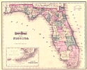
Viewing Options
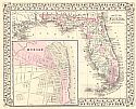
Main Author:
Gray, Ormando W.
Title/Description:
Map of Florida
Publication Info:
Philadelphia: O.W. Gray & Son, 1874; From Gray's Atlas of The United States
Viewing Options
Main Author:
Mitchell, S. Augustus
Title/Description:
County Map of Florida
Publication Info:
Philadelphia: S.A. Mitchell, 1874
Viewing Options
Main Author:
G.W. and C.B. Colton and Company
Title/Description:
Colton's New township Map of the State of Florida
Publication Info:
New York: G.W. and C.B. Colton and Company, 1875
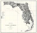
Viewing Options
Title/Description:
State of Florida
Publication Info:
Washington: General Land Office, 1876
Viewing Options
Main Author:
Mitchell, Samuel Augustus
Title/Description:
County Map of Florida
Publication Info:
Philadelphia: S.A. Mitchell, 1877
Viewing Options
Main Author:
Mitchell, Samuel Augustus
Title/Description:
County Map of Florida
Publication Info:
Philadelphia: S.A. Mitchell, 1878
Original Source:
Personal Collection of Robert M. Baker
Viewing Options
Main Author:
Roeser, Charles
Title/Description:
State of Florida
Publication Info:
Washington: U.S. Department of the Interior, General Land Office, 1879
Viewing Options
Main Author:
Mitchell, Samuel Augustus
Title/Description:
County Map of Florida
Publication Info:
Philadelphia: S.A. Mitchell, Jr., c1879
Viewing Options
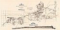
Main Author:
Fremont, S.L.
Title/Description:
Map of the Country Embraced in the Preliminary Survey and Examination of the Peninsula of Florida
Publication Info:
Washington: U.S. Army Corps of Engineers, 1879
Viewing Options
Main Author:
Colton, G.W. & C.B. Colton
Title/Description:
Colton's New Sectional Map of the Eastern Portion of Florida
Publication Info:
New York: G.W. & C.B. Colton & Co., 1880