|
|
| E - M |
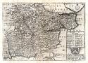
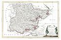
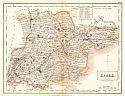
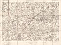
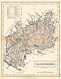
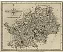
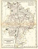
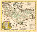
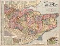
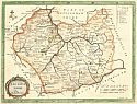
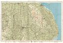
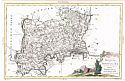
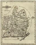
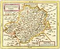
| Essex
|
 |
|
||||||||||||||||||||||||
|
 |
|
||||||||||||||||||||||||
|
 |
|
||||||||||||||||||||||||
|
 |
|
||||||||||||||||||||||||
|
 |
|
||||||||||||||||||||||||
|
 |
|
||||||||||||||||||||||||
|
 |
|
||||||||||||||||||||||||
|
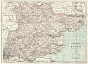
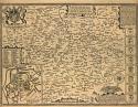
| Flintshire
|
 |
|
||||||||||||||||||||||||
|
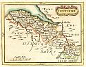
| Glouchestershire
|
 |
|
||||||||||||||||||||||||
|
 |
|
||||||||||||||||||||||||
|
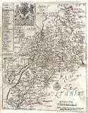
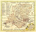
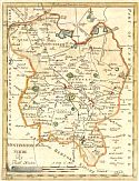
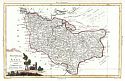
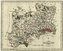
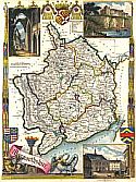
| Hampshire
|
 |
|
||||||||||||||||||||||||
|
 |
|
||||||||||||||||||||||||
|
 |
|
||||||||||||||||||||||||
|
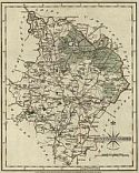
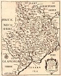
| Herefordshire
|
 |
|
||||||||||||||||||||||||
|
 |
|
||||||||||||||||||||||||
|
 |
|
||||||||||||||||||||||||
|
,cat(Name,Description)&style=simple/view-dhtml.xsl) |
|
||||||||||||||||||||||||
|
 |
|
||||||||||||||||||||||||
|
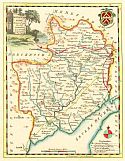
| Hertfordshire
|
 |
|
||||||||||||||||||||||||
|
| Huntingdonshire
|
 |
|
||||||||||||||||||||||||
|
 |
|
||||||||||||||||||||||||
|
 |
|
||||||||||||||||||||||||
|
 |
|
||||||||||||||||||||||||
|
| Isle of Man
|
 |
|
||||||||||||||||||||||||
|
| Isle of Thanet
|
 |
|
||||||||||||||||||||||||
|
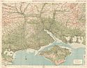
| Kent
|
 |
|
||||||||||||||||||||||||
|
 |
|
||||||||||||||||||||||||
|
 |
|
||||||||||||||||||||||||
|
 |
|
||||||||||||||||||||||||
|
 |
|
||||||||||||||||||||||||
|
 |
|
||||||||||||||||||||||||
|
 |
|
||||||||||||||||||||||||
|
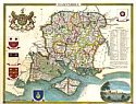
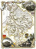
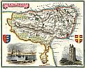
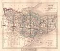
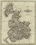
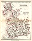
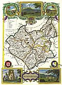
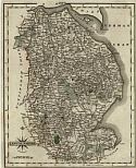
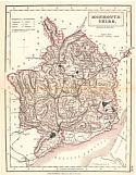
| Lancashire
|
 |
|
||||||||||||||||||||||||
|
 |
|
||||||||||||||||||||||||
|
 |
|
||||||||||||||||||||||||
|
 |
|
||||||||||||||||||||||||
|
 |
|
||||||||||||||||||||||||
|
 |
|
||||||||||||||||||||||||
|
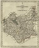
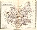
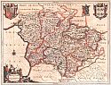
| Leicester
|
 |
|
||||||||||||||||||||||||
|
 |
|
||||||||||||||||||||||||
|
 |
|
||||||||||||||||||||||||
|
 |
|
||||||||||||||||||||||||
|
 |
|
||||||||||||||||||||||||
|
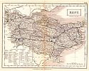
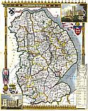
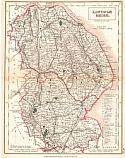
| Lincolnshire
|
 |
|
||||||||||||||||||||||||
|
 |
|
||||||||||||||||||||||||
|
 |
|
||||||||||||||||||||||||
|
 |
|
||||||||||||||||||||||||
|
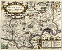
| Middlesex
|
 |
|
||||||||||||||||||||||||
|
 |
|
||||||||||||||||||||||||
|
 |
|
||||||||||||||||||||||||
|
 |
|
||||||||||||||||||||||||
|
 |
|
||||||||||||||||||||||||
|
| Monmouthshire
|
 |
|
||||||||||||||||||||||||
|
 |
|
||||||||||||||||||||||||
|
 |
|
||||||||||||||||||||||||
|
 |
|
||||||||||||||||||||||||
|
 |
|
||||||||||||||||||||||||
|
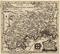
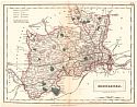
| Montgomeryshire
|
 |
|
||||||||||||||||||||||||
|
 |
|
||||||||||||||||||||||||
|
|
|
||
|
©
University of Alabama
|
To purchase map reproductions, submit a quote
request.
|
|