|
|
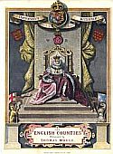
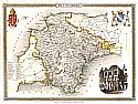
| A - D |
 |
|
||||||||||||||||||||||||
|
|
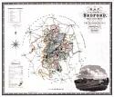
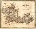
Bedfordshire
|
 |
|
||||||||||||||||||||||||
|
 |
|
||||||||||||||||||||||||
|
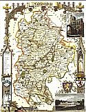
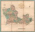
| Berkshire
|
 |
|
||||||||||||||||||||||||
|
 |
|
||||||||||||||||||||||||
|
 |
|
||||||||||||||||||||||||
|
 |
|
||||||||||||||||||||||||
|
 |
|
||||||||||||||||||||||||
|
 |
|
||||||||||||||||||||||||
|
 |
|
||||||||||||||||||||||||
|
 |
|
||||||||||||||||||||||||
|
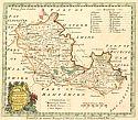
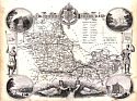
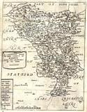
| Bradfordshire
|
 |
|
||||||||||||||||||||||||
|
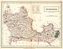
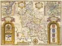
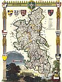
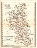
| Buckingham
|
 |
|
||||||||||||||||||||||||
|
 |
|
||||||||||||||||||||||||
|
 |
|
||||||||||||||||||||||||
|
 |
|
||||||||||||||||||||||||
|
 |
|
||||||||||||||||||||||||
|
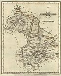
| Cambridgeshire
|
 |
|
||||||||||||||||||||||||
|
 |
|
||||||||||||||||||||||||
|
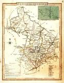
| Cheshire
|
 |
|
||||||||||||||||||||||||
|
 |
|
||||||||||||||||||||||||
|
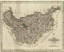
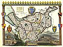
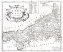
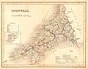
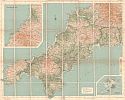
| Cornwall
|
 |
|
||||||||||||||||||||||||
|
 |
|
||||||||||||||||||||||||
|
 |
|
||||||||||||||||||||||||
|
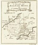
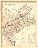
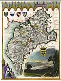
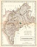
| Cumberland
|
 |
|
||||||||||||||||||||||||
|
 |
|
||||||||||||||||||||||||
|
 |
|
||||||||||||||||||||||||
|
 |
|
||||||||||||||||||||||||
|
 |
|
||||||||||||||||||||||||
|
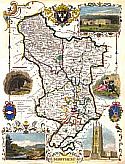
| Derbyshire
|
 |
|
||||||||||||||||||||||||
|
 |
|
||||||||||||||||||||||||
|
 |
|
||||||||||||||||||||||||
|
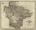
| Devonshire
|
 |
|
||||||||||||||||||||||||
|
 |
|
||||||||||||||||||||||||
|
 |
|
||||||||||||||||||||||||
|
 |
|
||||||||||||||||||||||||
|
 |
|
||||||||||||||||||||||||
|
 |
|
||||||||||||||||||||||||
|
 |
|
||||||||||||||||||||||||
|
| Dorsetshire
|
 |
|
||||||||||||||||||||||||
|
 |
|
||||||||||||||||||||||||
|
 |
|
||||||||||||||||||||||||
|
 |
|
||||||||||||||||||||||||
|
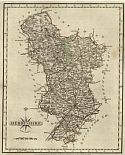
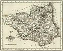
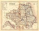
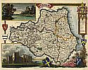
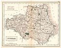
| Durham
|
 |
|
||||||||||||||||||||||||
|
 |
|
||||||||||||||||||||||||
|
 |
|
||||||||||||||||||||||||
|
 |
|
||||||||||||||||||||||||
|
 |
|
||||||||||||||||||||||||
|
 |
|
||||||||||||||||||||||||
|
|
|
||
|
©
University of Alabama
|
To purchase map reproductions, submit a quote
request.
|
|