| |
| Outline Map |
|
 |
|
| Viewing
options: |
Title |
Scale |
||
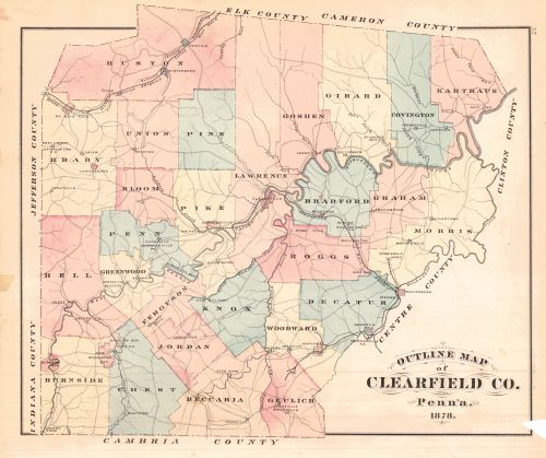
| Outline Map of Clearfield Co., Penn'a 1878 | Not Indicated |
|||
| Ferguson, Rockton Mills, West Liberty Roads, Forwardstown | 1:31,680 | |||
| Jordan, Bigler |
|
|||
| Railroad Map of the State of Pennsylvania | 1:792,000 |
|||
| Morris, Madera, Johnsonville | 1:31,680 |
|||
| Decatur | 1:31,680 |
|||
| Bradford | 1:31,680 |
|||
| Woodward, Beccaria |
|
|||
| Burnside |
1:31,680 |
|||
| Graham |
|
|||
| Curwensville, Utahville, Burnside | 1:3,600 |
|||
| Knox | 1:31,680 |
|||
| Penn, Kylertown | 1:31,680 |
|||
| Geulich | 1:31,680 |
|||
| Huston | 1:31,680 |
|||
| Centreville, Shawsville, New Washington | 1:2,400 |
|||
| Goshen, Winterburn, Westover, Lewisville | 1:31,680 |
|||
| Penfield | 1:2,880 |
|||
| Glenttope, Bloomington, Pennville | Various |
|||
| Pike, Covington, Bridgeport | 1;31,680 |
|||
| Chest | 1:31,680 |
|||
| Brady, Jamesville, Blairsville, Allmanville | 1:31,680 |
|||
| Bloom, Morrisdale Mines | 1:31,680 |
|||
| Greenwood, Morrisdale, Bellville | 1:31,680 |
|||
| Union, Pine, Woodland, Luthersburg Salem | 1:31,680 |
|||
| Bell, Chesterville, Stumptown, Salem, New Bethlehem | 1;31,680 |
|||
| Karthaus, Rockton, Troutville, Newburg, Ansonville | 31,680 |
|||
| Osceola, New Millport, Spruceville | 1:3,600 |
|||
| Lawrence, Amesville, Stoneville, Blue Ball | 1:31,680 |
|||
| Lawrence Continued | 1:31,680 |
|||
| Boggs, Lumber City, Wallaceton | 1:31,680 |
|||
| Girard | 1:31,680 |
|||
| Pittsburg, Cincinnati, and St. Louis R.R. Pan Handle Route | 1:4,752,000 |
|||
| Pittsburg, Cincinnati, and St. Louis R.R. Pan Handle Route with Principle Connecting Lines | 1:10,454,400 |
|||
| A Geographically Correct Map of States Traversed by the St. Louis, Iron Mountain and Southern Railway and Its Connections | Not Indicated |
|||
| Map of the United States, and Territories. Together with Canada &c. | 1:10,137,600 |
|
|
||
|
©
University of Alabama
|
To purchase map reproductions, submit a quote
request.
|
|