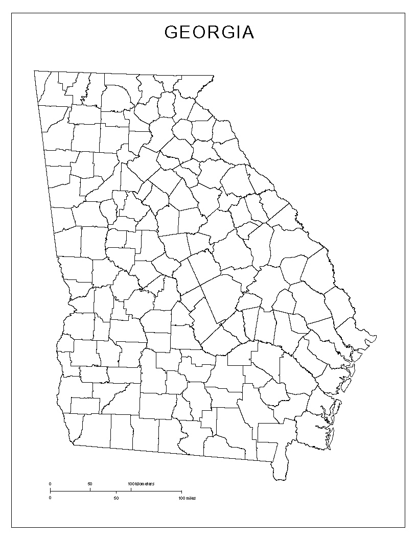
| Georgia
Counties Basemap |
|

|
| |
Format:  PDF 1187kb
        JPEG 523kb
|
| |
| Georgia basemap with county lines |
|
|
|
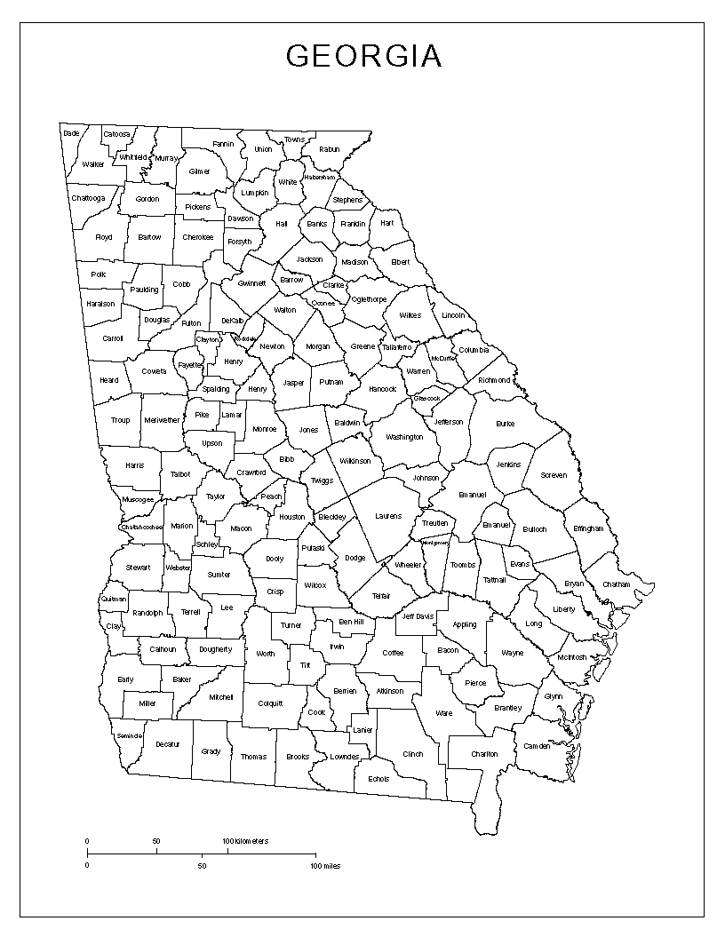
| Georgia
Counties with Names |
|

|
| |
Format:  PDF 1193kb
        JPEG 693kb
|
| |
| Georgia basemap with county names |
|
|
|
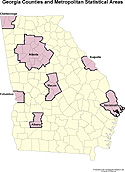
| Georgia
Counties and Metropolitan Statistical Areas |
|
|
| |
Format:  PDF   82kb
         JPEG 122kb
|
| |
| Georgia's MSA's. |
|
|
|
| Georgia
Population Change, 1970-1990 |
|

|
| |
Format:  PDF   84kb
         JPEG 117kb
|
| |
| Georgia's population between 1970 and 1990. |
|
|
|
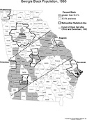
| Georgia
Black Population, 1990 |
|
|
| |
Format:  PDF   91kb
         JPEG 174kb
|
| |
| Georgia's black population in 1990. |
|
|
|
|