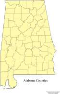
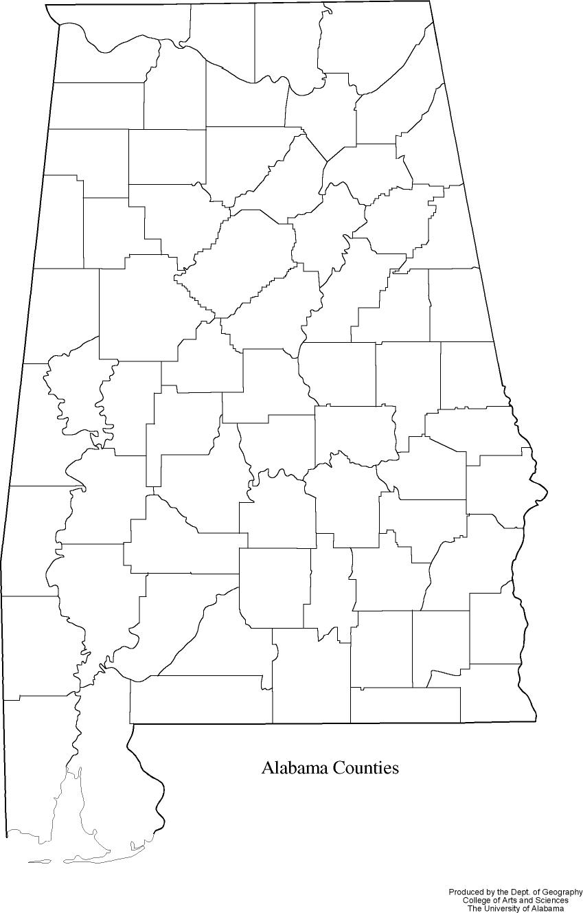
| Alabama
Counties |
|
|
| |
Format:  PDF   66kb
         JPEG  93kb
|
| |
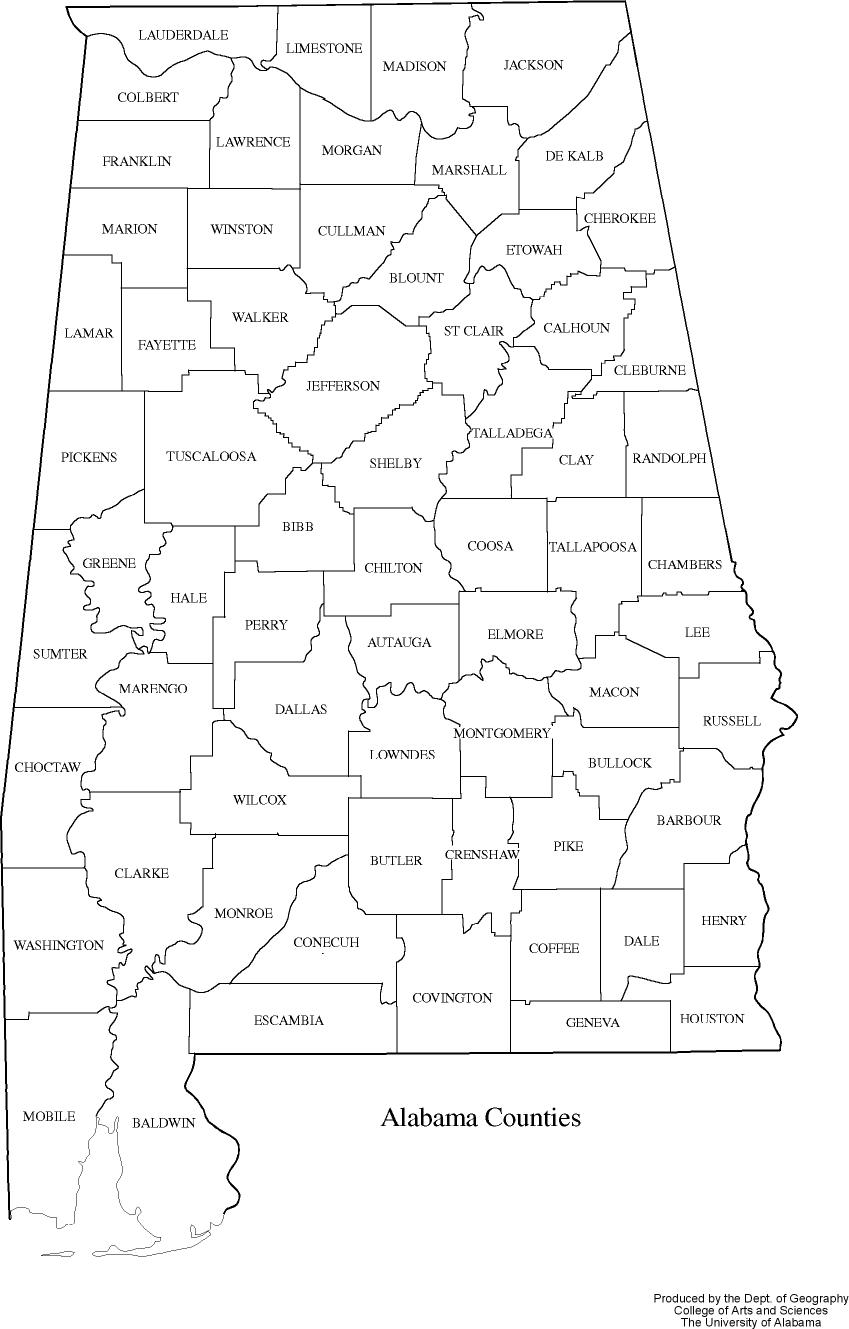
| Alabama's county lines.
Black & white version:
PDF, JPEG
.
|
|
|
|
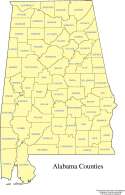
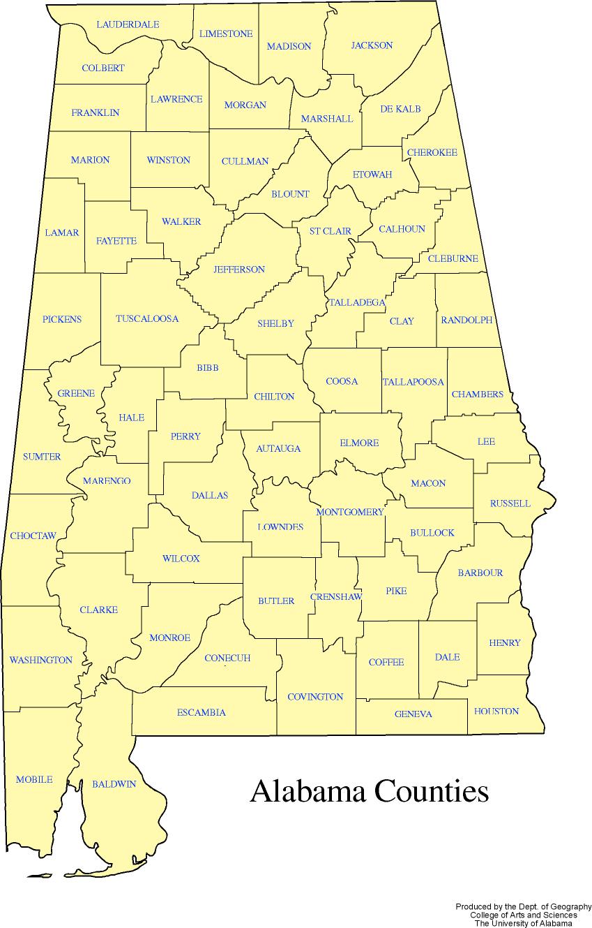
| Alabama
Counties |
|
|
| |
Format:  PDF   70kb
         JPEG 130kb
|
| |
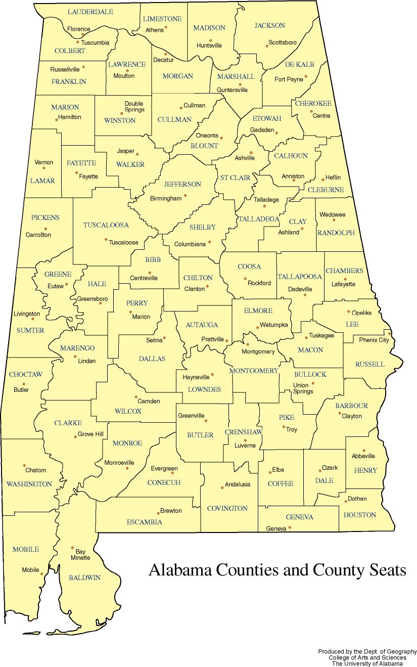
| Alabama's counties.
Black & white version:
PDF, JPEG
|
|
|
|
| Alabama
Counties and County Seats |
 |
| |
Format:  PDF   85kb
         JPEG 159kb
|
| |
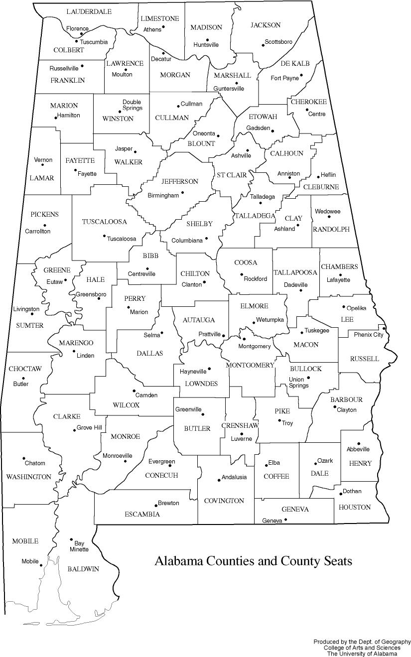
Alabama counties and county
seats.
Black & white version:
PDF, JPEG
|
|
|
|
| Township
and Range |
|

|
| |
Format:  PDF   49kb
         JPEG 240kb
|
| |
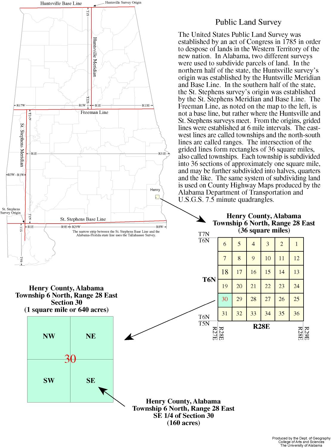
| An explanation of township and range. |
|
|
|
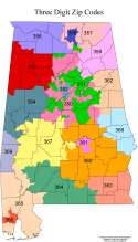
| Three
Digit Zip Codes |
|
|
| |
Format:  PDF  397kb
         JPEG 440kb
|
| |
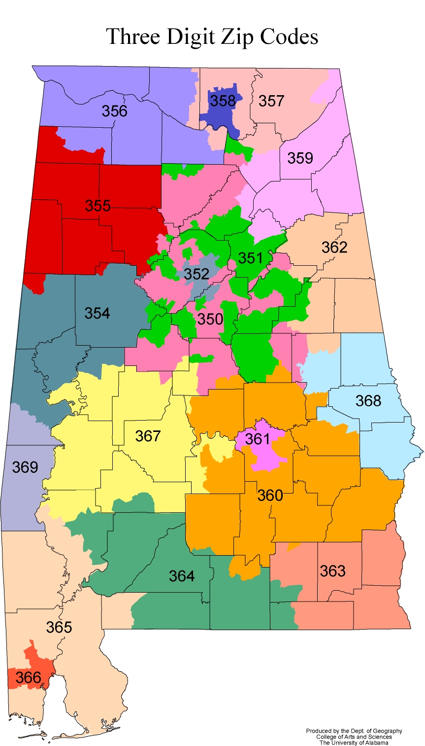
| Three digit prefixes. |
|
|
|
| Metropolitan
Statistical Areas |
|

|
| |
Format:  PDF 684kb
        JPEG 152kb
|
| |
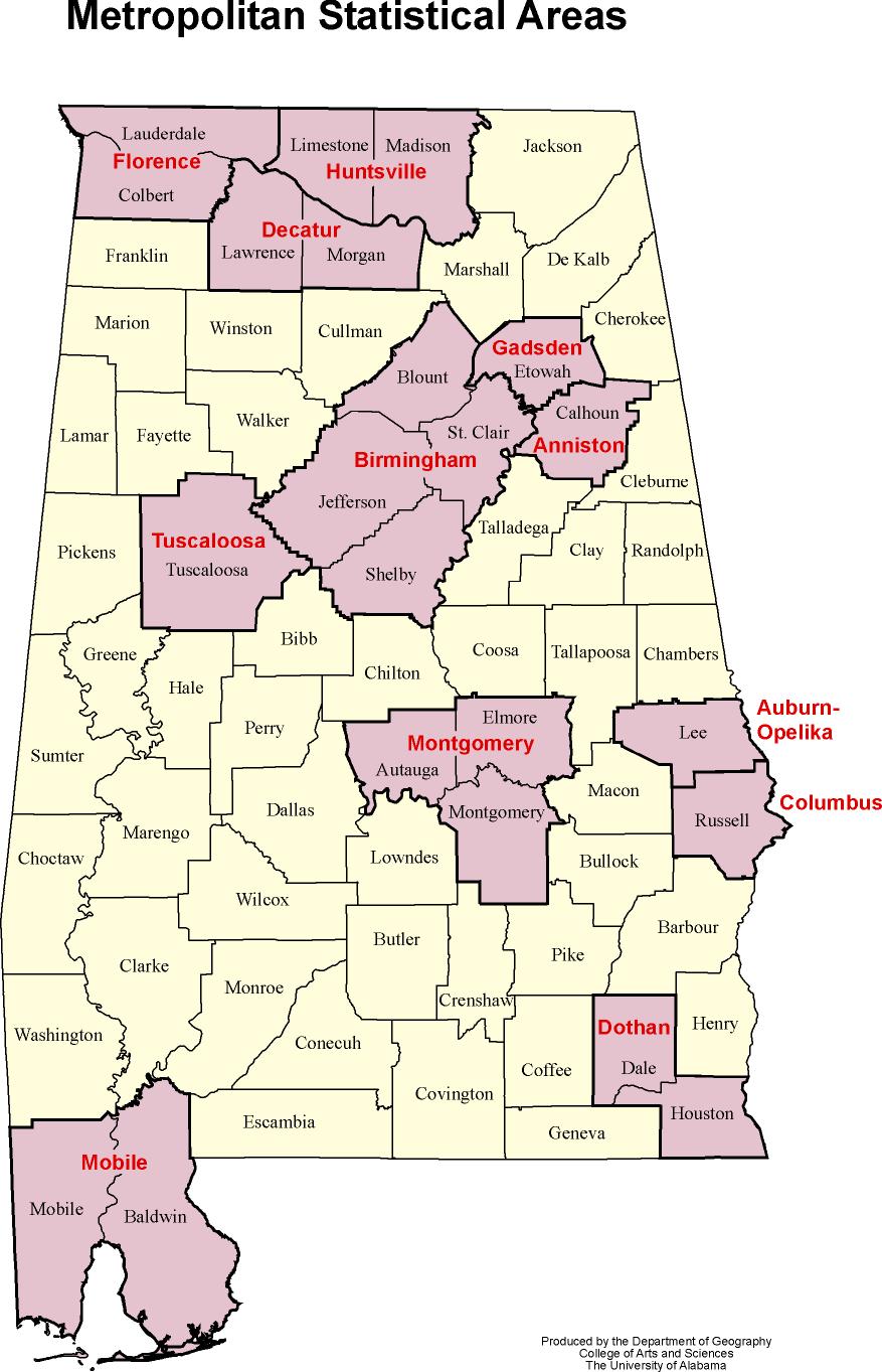
| Alabama's Metropolitan Statistical Areas. |
|
|
|
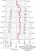
| State
Plane Coordinates |
|
|
| |
Format:  PDF   49kb
         JPEG 189kb
|
| |
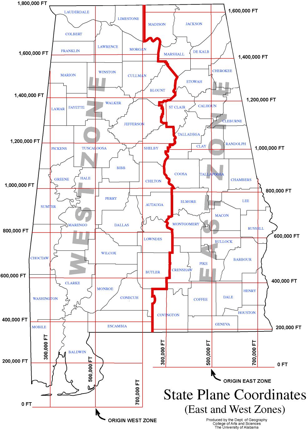
| State Plane Coordinates, East and West zones. |
|
|
|
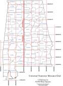
| Universal
Transverse Mercator Grid |
|
|
| |
Format:  PDF   47kb
         JPEG 190kb
|
| |
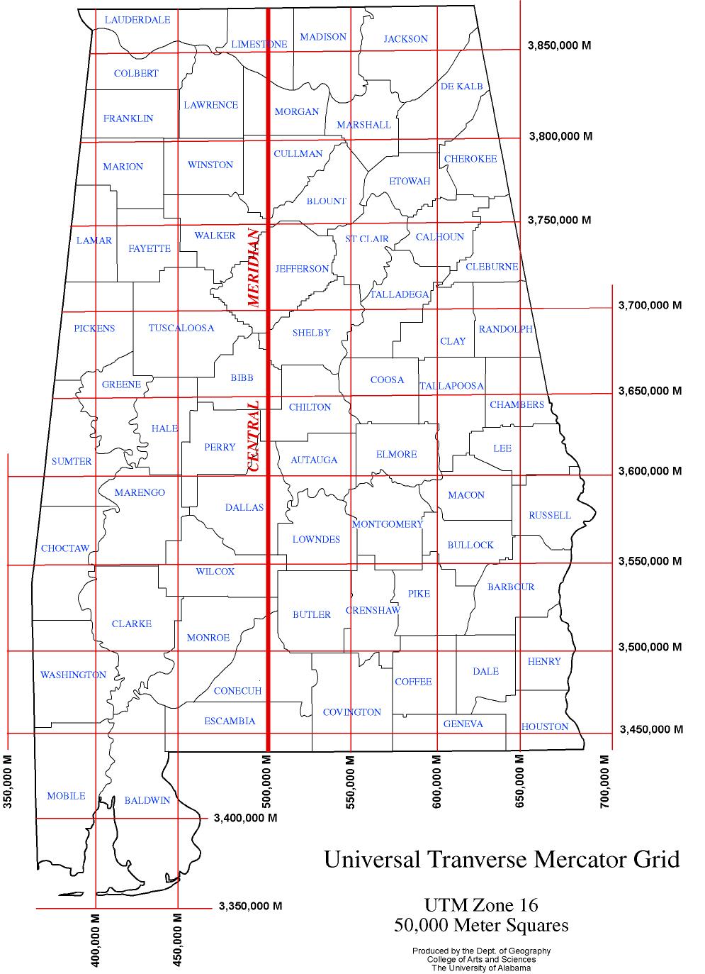
| Universal Transverse Mercator Grid, UTM Zone 16 (50,000 Meter
Squares). |
|
|
|
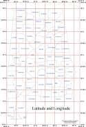
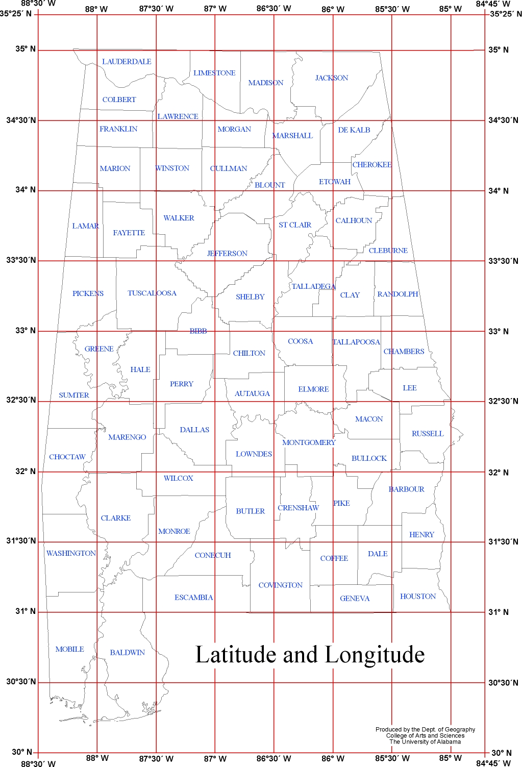
| Latitude
and Longitude |
|
|
| |
Format:  PDF   58kb
         JPEG 547kb
|
| |
| Latitude and longitude of the State of Alabama. |
|
|
|
|