| |
| Map Example |
 |
| Viewing
options: |
Title |
Author |
Scale |
|
Map of the World as Known to the Assyrians |
Van Antwerp, Bragg and Company |
1:25,000,000 |
||
Empire of the Persians |
Van Antwerp, Bragg and Company |
1:25,000,000 |
||
Map of Ancient Greece and the Ægean Sea |
Van Antwerp, Bragg and Company |
1:4,526,000 |
||
Greece and Her Colonies
|
Van Antwerp, Bragg and Company |
1:7,900,000 |
||
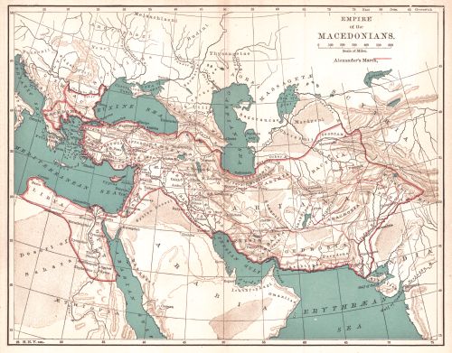
Empire of the Macedonians |
Van Antwerp, Bragg and Company |
1:25,000,000 |
||
Italy with the Eleven Regions of Augustus |
Van Antwerp, Bragg and Company |
1:6,000,000 |
||
Map of the Roman Empire |
Van Antwerp, Bragg and Company |
1:22,260,000 |
||
Ancient Rome |
Van Antwerp, Bragg and Company |
1:40,000 |
||
Athens
|
Van Antwerp, Bragg and Company |
1:160,000 |
||
Europe at the Beginning of the 6th Century |
Van Antwerp, Bragg and Company |
1:19,000,000 |
||
Carlovingian Empire |
Van Antwerp, Bragg and Company |
1:8,600,000 |
||
Europe During the Latter Half of the Xth Century |
Van Antwerp, Bragg and Company |
1:19,000,000 |
||
Asia and the Surrounding Countries at the Time of the Crusades |
Van Antwerp, Bragg and Company |
1:5,565,000 |
||
France before A.D., 1461 |
Van Antwerp, Bragg and Company |
1:6,184,000 |
||
Northern Italy from 1492 to 1797 |
Van Antwerp, Bragg and Company |
1:3,700,000 |
||
Spanish Netherlands and United Provinces in the Seventeenth Century |
Van Antwerp, Bragg and Company |
1:4,435,200 |
||
Europe During the Thirty Years War |
Van Antwerp, Bragg and Company |
1:19,000,000 |
||
British Isles; Showing Places of Greatest Historical Interest |
Van Antwerp, Bragg and Company |
1:4,460,000 |
||
Map of the World Showing the Colonial Possessions |
Van Antwerp, Bragg and Company |
N/A |
||
Map of the Progress of Colonies prior to 1763 |
Van Antwerp, Bragg and Company |
1:15,000,000 |
||
Map of the Regions Between Paris and Berlin Showing the Principle Battlefields |
Van Antwerp, Bragg and Company |
1:3,840,000 |
||
Europe During the Reign of Napoleon I |
Van Antwerp, Bragg and Company |
1:19,000,000 |
||
Map of Colonies During the Revolutionary War |
Van Antwerp, Bragg and Company |
1:9,500,000 |
||
Map to Illustrate the War of 1812 |
Van Antwerp, Bragg and Company |
1:14,256,000 |
||
Illustrating the Civil War |
Van Antwerp, Bragg and Company |
1:10,000,000 |
||
Europe in 1872 A.D. |
Van Antwerp, Bragg and Company |
1:19,000,000 |
|
|
||
|
©
University of Alabama
|
To purchase map reproductions, submit a quote
request.
|
|