| |
| |
Main
Author: |
|
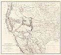
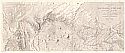
Egloffstein, F.W. |
| |
Title/Description: |
|
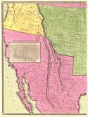
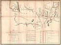
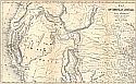
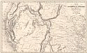
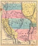
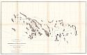
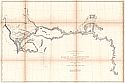
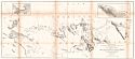
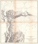
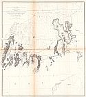
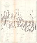
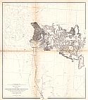
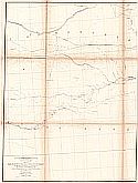
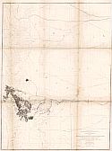
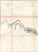
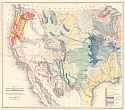
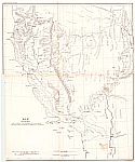
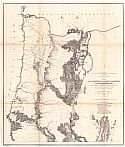
Map No. 1, From the Valley of
Green River to the Great Salt Lake, Exploration and Surveys for a
Rail Route from the Mississippi River to the Pacific Ocean, Route
Near the 41th Parallel |
| |
Publication
Info: |
|
Washington, D.C.: U.S. Department of War, 1855 |
| |
Date: |
|
1855 |
| |
Scale: |
|
1:760,320 |
| |
Original
Source: |
|
Courtesy of Murray
Hudson, Halls, Tennessee |
|