|
|
| |
Main
Author: |
|
Berthrong, I.P. |
| |
Title/Description: |
|
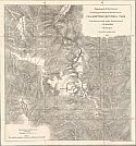
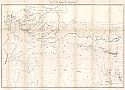
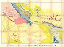
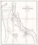
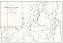
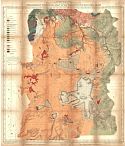
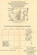
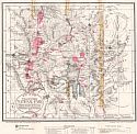
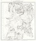
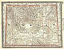
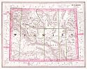
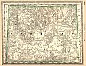
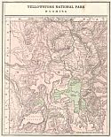
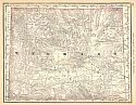
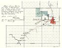
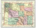
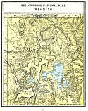
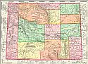
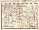
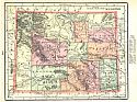
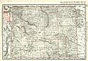
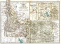
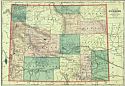
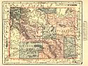
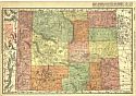
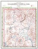
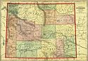
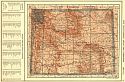
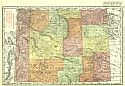
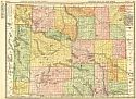
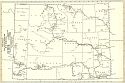
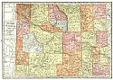
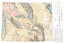
Yellowstone National Park |
| |
Publication
Info: |
|
Washington, D.C.: U.S. Department of the Interior,
General Land Office, 1907; compiled from the official records of
the General Land Office, U.S. Geological Survey and other sources
under
the direction of Frank Bond, Chief of Drafting Division, G.L.O. 1907 |
| |
Date: |
|
1907 |
| |
Scale: |
|
1:190,000 |
| |
Original
Source: |
|
Courtesy of Murray
Hudson, Halls, Tennessee |
|