| |
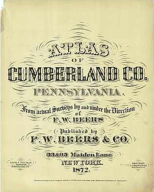
| Title
Page |
 |
| Viewing
options: |
Title |
Scale |
||
| Map of the State of Pennsylvania | 1:1,541,550 |
|||
| Plan of the County of Cumberland Pennsylvania | 1:190,080 | |||
| Hopewell | 1:39,600 |
|||
| Newburg, Bloserville | various |
|||
| Mifflin | 1:39,600 |
|||
| Frankford | 1:39,600 |
|||
| W. Pennsborough, Plainfield, Mount Rock, West Hill, Greason and Springfield | various |
|||
| North Middleton | 1:39,600 |
|||
| Middlesex | 1:39,600 |
|||
| Silver Spring | 1:39,600 |
|||
| Newkingston, Hogestown | 1:3,960 |
|||
| Mechanicsburg, North Ward | 1:1,980 |
|||
| Mechanicsburg, South Ward | 1:1,980 |
|||
| Hampden and Shiremanstown | various |
|||
| East Pennsborough | 1:39,600 |
|||
| West Fairview, Wormleyburg and Camp Hill | various |
|||
| Southhampton and Shippensburg | 1:39,600 |
|||
| Shippensburg | 1:3,564 |
|||
| Newton, Oakville, Stoughstown and Centreville | various |
|||
| Newtown, Newville, Jacksonville and New Lancaster | various |
|||
| Penn, Pine Grove, Hockersville, Cummins, Laurel Forge, Mill Town | various |
|||
| Dickinson, Springville, Boiling Springs, Mount Holly, Mount Holly Springs and Craighead Station | various |
|||
| South Middleton | 1:39,600 |
|||
| Mount Holly Springs | 1:3,960 |
|||
| Carlisle, West Ward | 1:2,376 |
|||
| Carlisle, East Ward | 1:2,376 |
|||
| Carlisle, West Ward | 1:2,376 |
|||
| Carlisle, East Ward | 1:2,376 |
|||
| Carlisle, Part of East and West Ward | 1:2,376 |
|||
| Monroe | 1:39,600 |
|||
| New Cumberland, Churchtown | various |
|||
| Upper Allen | 1:39,600 |
|||
| Lower Allen | 1:39,600 |
|
|
||
|
©
University of Alabama
|
To purchase map reproductions, submit a quote
request.
|
|