| |
| |
Main
Author: |
|
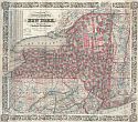
Asher and Adams |
| |
Title/Description: |
|
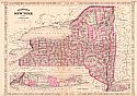
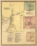
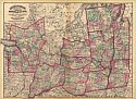
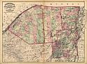
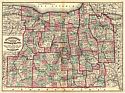
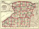
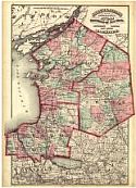
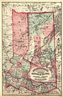
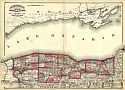
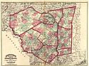
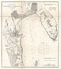
Monroe, Livingston, Allegany,
Wayne, Ontario, Steuben, Yates, Schuyler, Chemung, Seneca, Cayuga,
Tompkins, Tioga, Onondaga and Cortland Counties |
| |
Publication
Info: |
|
New York: Asher and Adams, 1871; from The New
Topographical Atlas and Gazetteer of New York |
| |
Date: |
|
1871 |
| |
Scale: |
|
1:400,000 |
| |
Original
Source: |
|
University
of Alabama Map Library |
|