| |
| |
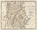
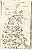
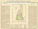
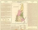
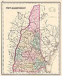
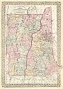
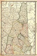
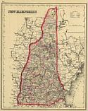
Main
Author: |
|
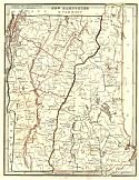
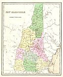
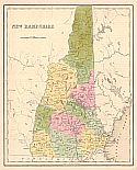
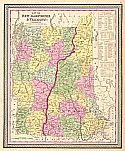
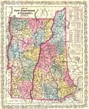
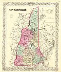
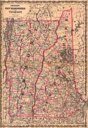
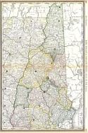
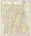
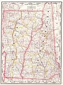
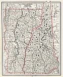
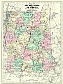
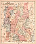
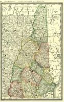
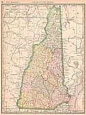
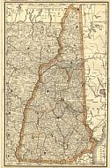
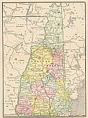
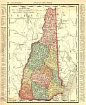
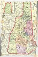
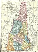
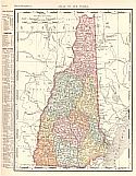
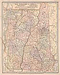
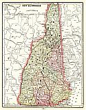
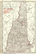
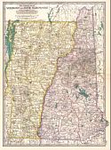
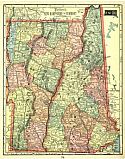
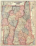
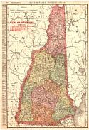
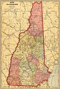
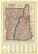
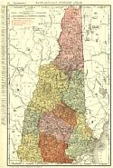
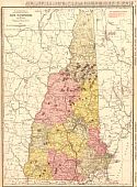
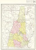
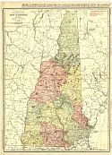
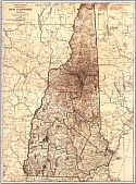
Bradford, Thomas G. |
| |
Title/Description: |
|
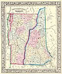
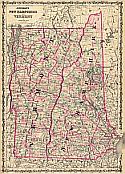
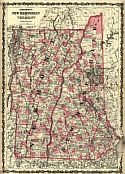
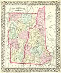
New Hampshire and Vermont |
| |
Publication
Info: |
|
Boston: William D. Ticknor, 1835; From A Comprehensive
Atlas Geographical, Historical, and Commercial |
| |
Date: |
|
1835 |
| |
Scale: |
|
1: 1,140,480 |
| |
Original
Source: |
|
Courtesy of Murray
Hudson, Halls, Tennessee |
|