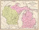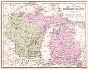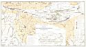
Main Author:
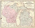
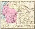
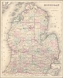
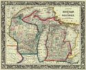
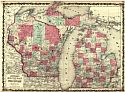
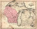
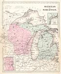
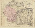
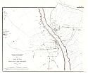
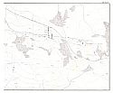
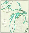
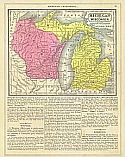
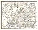
Morse, Sidney E.
Title/Description:
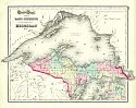
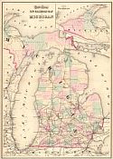
Michigan and Wisconsin
Publication Info:
New York: Harper and Brothers 1851; from Morse's School Geography
Date:
1851
Scale:
1:4,435,000
Original Source: