| |
| |
Main
Author: |
|
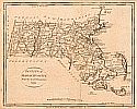
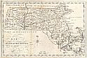
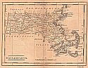
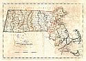
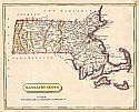
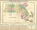
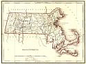
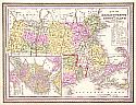
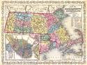
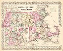
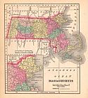
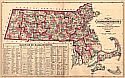
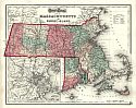
Gray, O.W. |
| |
Title/Description: |
|
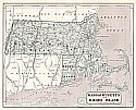
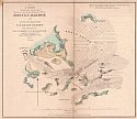
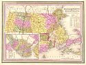
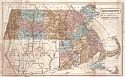
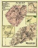
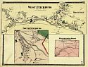
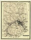
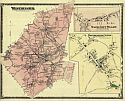
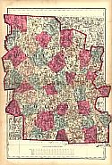
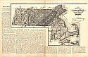
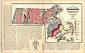
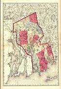
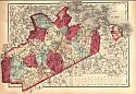
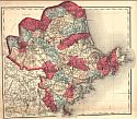
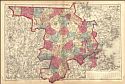
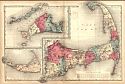
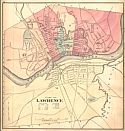
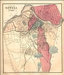
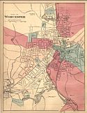
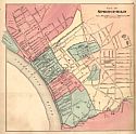
Massachusetts and Rhode Island |
| |
Publication
Info: |
|
Philadelphia: Stedman, Brown and Lyon, 1873; from
Gray's Atlas of the United States, with General Maps of the World,
Accompanied by Descriptions Geographical, Historical, Scientific and
Statistical |
| |
Date: |
|
1873 |
| |
Scale: |
|
1:792,000 |
| |
Original
Source: |
|
Courtesy of Murray
Hudson, Halls, Tennessee |
|