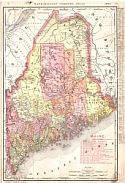
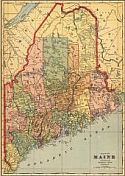
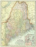
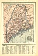
Viewing Options
Main Author:
Rand McNally and Company
Publication Info:
Chicago: Rand McNally and Company, 1906; from the Business Atlas and Shippers Guide
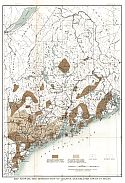
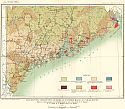
Viewing Options
Main Author:
U.S. Geological Survey
Title/Description:
Map showing the Distribution of Granite and Related Rocks in Maine
Publication Info:
Washington: Department of the Interior, U.S. Geological Survey, 1906; Bulletin 313 Plate I
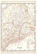
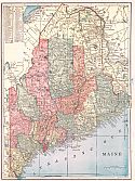
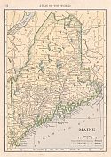
Viewing Options
Main Author:
Cram, George F.
Publication Info:
Chicago: George F. Cram for A. A. Grant, Toronto, Ont., 1906; from Grant's Bankers and Brokers Railroad System Atlas
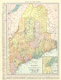
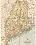
Viewing Options
Main Author:
Hammond, C.S.
Publication Info:
New York: C.S. Hammond and Company, 1907
Viewing Options
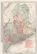
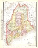
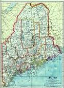
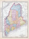
Main Author:
Cram, George F.
Title/Description:
Map of Maine
Publication Info:
Chicago: George F. Cram, 1907; from Cram's Standard American Atlas
Viewing Options
Main Author:
P.F. Collier and Son
Publication Info:
New York: P.F. Collier and Son, 1907; from The New Encyclopedic Atlas and Gazetteer of the World
Viewing Options
Main Author:
Cram, George F.
Publication Info:
Chicago: George F. Cram, 1907; from Cram's Ideal Reference Atlas of the World
Viewing Options
Main Author:
Rand McNally & Co.
Title/Description:
Rand McNally & Co.'s Maine
Publication Info:
Chicago: Rand McNally & Co., 1908
Viewing Options
Main Author:
The Crowell Publishing Company
Publication Info:
New York: The Crowell Publishing Co., 1908; from the Peerless Atlas of the World
Viewing Options
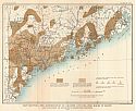
Main Author:
U.S. Geological Survey
Title/Description:
Map showing distribution of Rocks in southern Maine, so far as known
Publication Info:
Washington: Department of the Interior, U.S. Geological Survey, 1908; Water Supply Paper No. 223 Plate 1
Viewing Options
Main Author:
Hammond, C.S.
Publication Info:
New York: C.S. Hammond & Co. 1908; from Hammond's Handy Atlas of the World
Viewing Options
Main Author:
Rand McNally and Company
Publication Info:
Chicago: Rand McNally and Company, 1908; from The New Ideal State and County Survey and Atlas
Viewing Options
Main Author:
Patten, William and J.E. Homas
Publication Info:
New York: P.F. Collier and Son, 1909; from The New Encyclopedic Atlas and Gazetteer of the World
Viewing Options
Main Author:
Cram, George F.
Publication Info:
Chicago: George F. Cram, c.1909; from the Heart of our Country
Viewing Options
Main Author:
U.S. Geological Survey
Title/Description:
Map of Maine showing locations Tested for Peat
Publication Info:
Washington: Department of the Interior, U.S. Geological Survey, 1909; Bulletin 376 Plate I
Viewing Options
Main Author:
U.S. Geological Survey
Title/Description:
Map Showing the Distribution of Granite and Related Rocks in Maine and Locations of Quarries in Pegmatite Deposits
Publication Info:
Washington: Department of the Interior, U.S. Geological Survey, 1909; Bulletin 445 Plate I
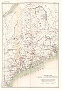
Viewing Options
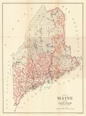
Main Author:
State Highway Department
Title/Description:
Map of Maine Showing State Roads
Publication Info:
Augusta: Kennebec Journal Print, 1910; from Fifth Annual Report of the Commissioner of Highways for the State of Maine
Viewing Options
Main Author:
Rand McNally and Company
Publication Info:
Chicago: Rand McNally and Company, 1910; from New Ideal State and County Survey

