| |
| |
Main
Author: |
|
Thomas, Cowperthwait, and Company |
| |
Title/Description: |
|
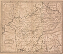
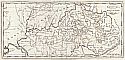
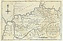
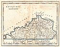
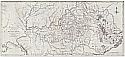
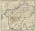
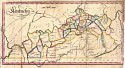
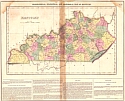
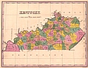
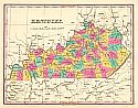
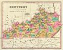
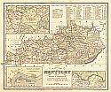
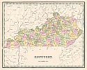
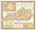
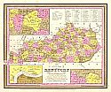
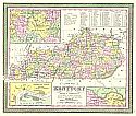
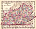
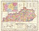
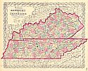
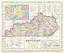
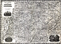
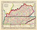
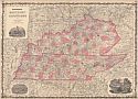
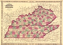
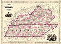
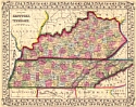
A New Map of Kentucky with Its
Roads and Distances from Place to Place Along the Stage and Steamboat
Routes |
| |
Publication
Info: |
|
Philadelphia: Thomas, Cowperthwait, and Company,
1850 |
| |
Date: |
|
1850 |
| |
Scale: |
|
1:1,964,000 |
| |
Original
Source: |
|
Courtesy of Murray
Hudson, Halls, Tennessee |
|