| |
| |
Main
Author: |
|
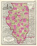
Burr, David H. |
| |
Title/Description: |
|
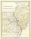
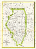
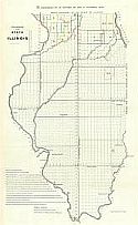
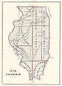
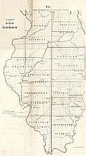
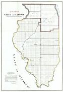
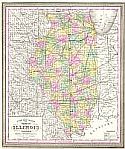
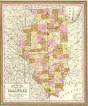
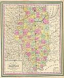
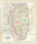
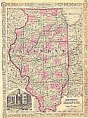
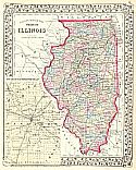
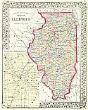
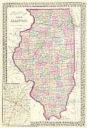
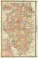
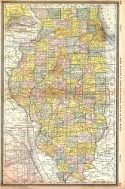
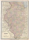
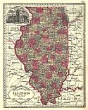
Map of Illinois with parts of
Indiana, Wisconsin, &c. |
| |
Publication
Info: |
|
Washington, D.C.: David H Burr, 1836; from "The
Report on the Illinois Central Rail-Road Company" |
| |
Date: |
|
1836 |
| |
Scale: |
|
1:1,647,000 |
| |
Original
Source: |
|
Courtesy of Murray
Hudson, Halls, Tennessee |
|