|
|
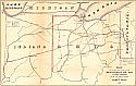
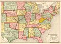
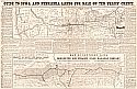
Before 1875 |
 |
|
||||||||||||||||||||||||
|
 |
|
||||||||||||||||||||||||
|
 |
|
||||||||||||||||||||||||
|
| |
|
||||||||||||||||||||||||
|
 |
|
||||||||||||||||||||||||
|
 |
|
||||||||||||||||||||||||
|
 |
|
||||||||||||||||||||||||
|
 |
|
||||||||||||||||||||||||
|
 |
|
||||||||||||||||||||||||
|
 |
|
||||||||||||||||||||||||
|
 |
|
||||||||||||||||||||||||
|
 |
|
||||||||||||||||||||||||
|
 |
|
||||||||||||||||||||||||
|
 |
 |
|
||||||||||||||||||||
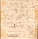
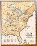
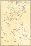
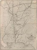
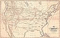
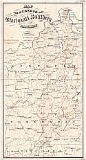
Map |
Index |
|||||||||||||||||||||
| Viewing options: |
Viewing options: |
|||||||||||||||||||||
 |
|
||||||||||||||||||||||||
|
|
|
|
||||||||||||||||||||||||
|