| |
| |
Main
Author: |
|
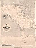
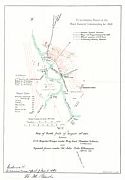
Mc Derby, Lt. Col. G., Military Information Division |
| |
Title/Description: |
|
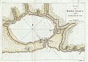
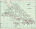
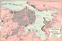
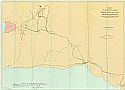
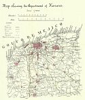
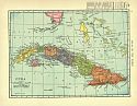
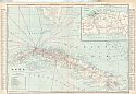
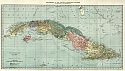
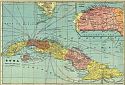
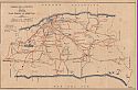
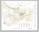
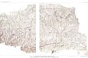
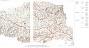
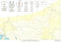
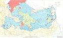
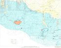
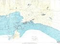
Map of Santiago de Cuba and
Vicinity Showing Entrenchments and Positions of the Fifth Corps U.S.
Army and those of the Spanish after the taking of Caney and San Juan
Hill, evening of July 1st, 1898 |
| |
Publication
Info: |
|
Washington: U.S. Army, Corps of Engineers, 1898;
compiled from partial transit surveys and foot reconnaissance of the
Major General Commanding for 1898 |
| |
Date: |
|
1898 |
| |
Scale: |
|
1:25,000 |
| |
Original
Source: |
|
Courtesy of Murray
Hudson, Halls, Tennessee |
|