| |
| |
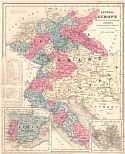
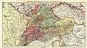
Main
Author: |
|
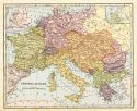
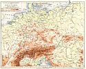
Delamarche, Félix |
| |
Title/Description: |
|
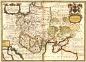
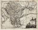
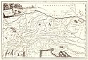
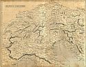
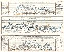
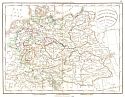
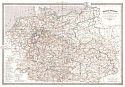
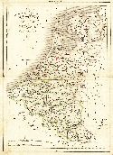
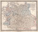
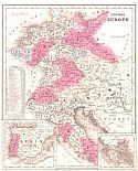
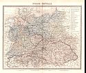
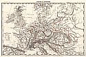
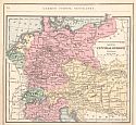
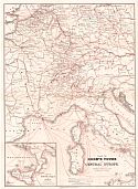
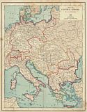
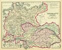
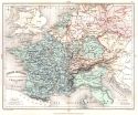
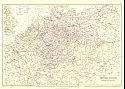
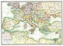
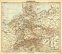
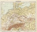
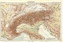
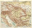
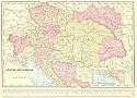
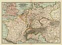
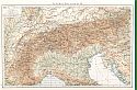
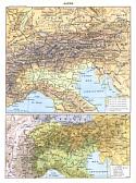
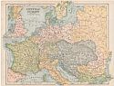
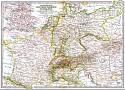
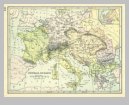
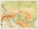
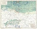
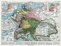
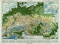
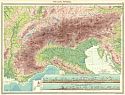
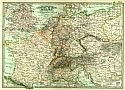
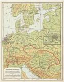
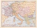
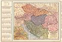
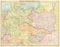
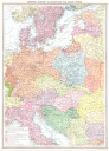
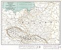
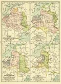
Confédération Germanique
Royaume de Prusse Empire d'Autriche Royaume de Pologne |
| |
Publication
Info: |
|
Paris: Félix, Delamarche, 1834; No.11 from
Atlas De La Géographie Ancienne, du moyen âge, et
modern, Adopté Par Le Conseil Royal |
| |
Date: |
|
1834 |
| |
Scale: |
|
1:5,094,000 |
| |
Original
Source: |
|
Courtesy of Adams Antiques, Northport, Alabama |
|