| |
| |
Main
Author: |
|
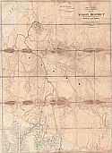
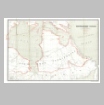
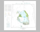
Owen, Fred D. |
| |
Title/Description: |
|
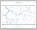
Baffin Bay to Lincoln Sea |
| |
Publication
Info: |
|
Washington: Hydrographic Office, Navy Department,
1885; Reprinted for Science Magazine, Feb. 27, 1885 |
| |
Date: |
|
1885 |
| |
Scale: |
|
1:1,267,200 |
| |
Original
Source: |
|
Courtesy of Murray
Hudson, Halls, Tennessee |
|