| |
| Index
Page |
 |
| Author: |
Ferguson, H.B. | Publication Info: |
Montgomery: U.S. Engineer Office, 1909;
House Document No. 253; 63d Congress, 1st Session |
| Viewing
options: |
Title |
|
Scale |
|
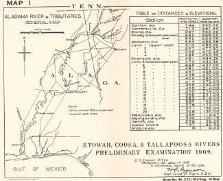
| Etowah, Coosa & Tallapoosa Rivers Preliminary Examination, 1909 | ||||
| Map showing the Distribution of the Iron ores of Bartow, Polk and Floyd Counties | ||||
| Map showing the Distribution of the Bauxite Deposits of Georgia | 1:316,800 |
|||
| Lot Map of the 4th and 5th Districts of Bartow County, Georgia showing Ocher Areas Shaded | 1:380,160 | |||
| Map of the Reservoir site No. 1, Tallapoosa River at Cherokee Bluffs, Ala. | 1:95,040 |
|||
| State of Alabama, General Land Ownership | 1:42,000 | |||
| Map of the Reservoir Site No. 2, Tallapoosa River at the Mouth of Little Tallapoosa River | 1:1,800 |
|||
| Tallapoosa Riv. Reservoir No. 2 Dam and Spillway Sites | 1:42,000 | |||
| Map of Reservoir Site, Conasauga River Tenn. and Ga. at mouth of Jack River | 1:7,800 |
|||
| Map of Proposed Dam and Spillway Site Conasuaga River | 1:30,000 | |||
| Map of Reservoir Site, Etowah River above Cartersville, Ga | 1:24,000 |
|||
| Map of Dam and Spillway Site on the Etowah River | 1:42,000 | |||
| Etowah River Reservoir, Cross - Sections of Dam and Spillway | 1:1,680 |
|||
| Etowah Riv. Reservoir, Map of Proposed Core - Wall Embankment at Alltoona Station on the Ward A.R.R. | - | |||
| Etowah Riv. Reservoir, Proposed Earth Embankment | 1:17,000 |
|||
| Etowah River Reservoir, Proposed Revision of W. and A.R.R near Allatoona, Ga | 1:4,800 | |||
| Etowah River Reservoir, R. R. Features | 1:9,600 |
|||
| Coosa River, Gadsden, Ala. to Wetumpka, Ala | 1:506,880 | |||
| Topographic Map of East Bank of Coosa River at Lock #12 showing location of proposed Lock canal and Lock chambers | 1:1,800 |
|||
| Coosa River, Detail Topography Dam Site 18, Proposed Canal and Locks | 1:1,800 |
|
|
||
|
©
University of Alabama
|
To purchase map reproductions, submit a quote
request.
|
|